Zoom in on Topographic Maps
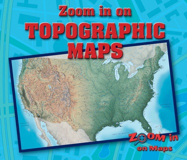
You are planning a huge bike trip, so how can you find out where the mountains and flat lands are? Zoom in on a topographic map to find out. This graphic-heavy and instructive book introduces the reader to the basics of using topographic maps. They are introduced to the way elevations and contours of the land are shown on maps, and how to read the details shown on these maps. A follow-up activity encourages readers to use a contour map to plan a camping trip.


