Zoom in on Climate Maps
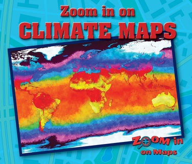
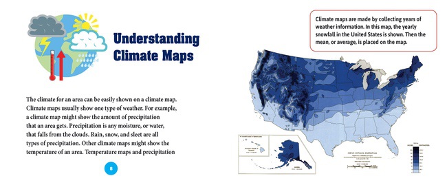
Readers will learn about different types of climate maps, such as precipitation maps and temperature maps. They will examine a map of the different climate zones around the world and how they affect the regions. They will even discover some practical reasons that people use climate maps. A follow-up activity allows readers to examine a climate zone map and use it to prepare for an imaginary trip around the world.


